
Broadhope Hill - Northumberland Walk
Tuesday 23rd April 2024
This was the only forecasted dry day of the week so we made the most of the promised dry conditions and headed to the Harthope Valley to explore an area that was completely new to us. This was a route I had found via a Facebook group and then amended to take in the summit of Cold Law seeing as it had a trig point on it.
Start: Carey Burn Bridge (NT 9755 2499)
Route: Carey Burn Bridge - Carey Burn - Broadstruther - Broadhope Hill - Cold Law (TP) - Carling Crags - Snear Hill - Carey Burn Bridge
Distance: 7 miles Ascent: 527 metres Time Taken: 4 hrs 45 mins
Terrain: Good paths
Weather: Overcast with a cold wind on the summits, warm sunshine later.
Pub Visited: Black Bull Inn, Wooler Ale Drunk: Hadrian Border Brewery, Farne Island
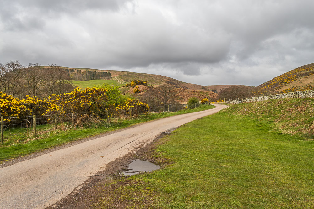
From our parking spot in the Harthope Valley we can see both the path we will take out, using the route signed before the bridge and the route back down the clear track on Snear Hill ahead of us.
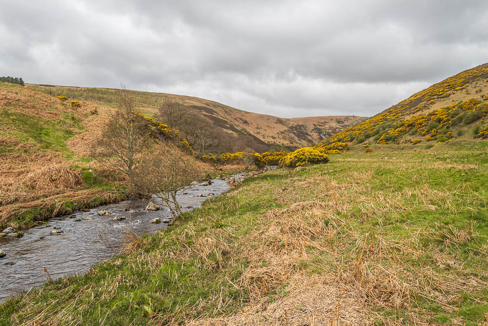
Having taken the gate next to the sign we follow the path alongside Carey Burn.
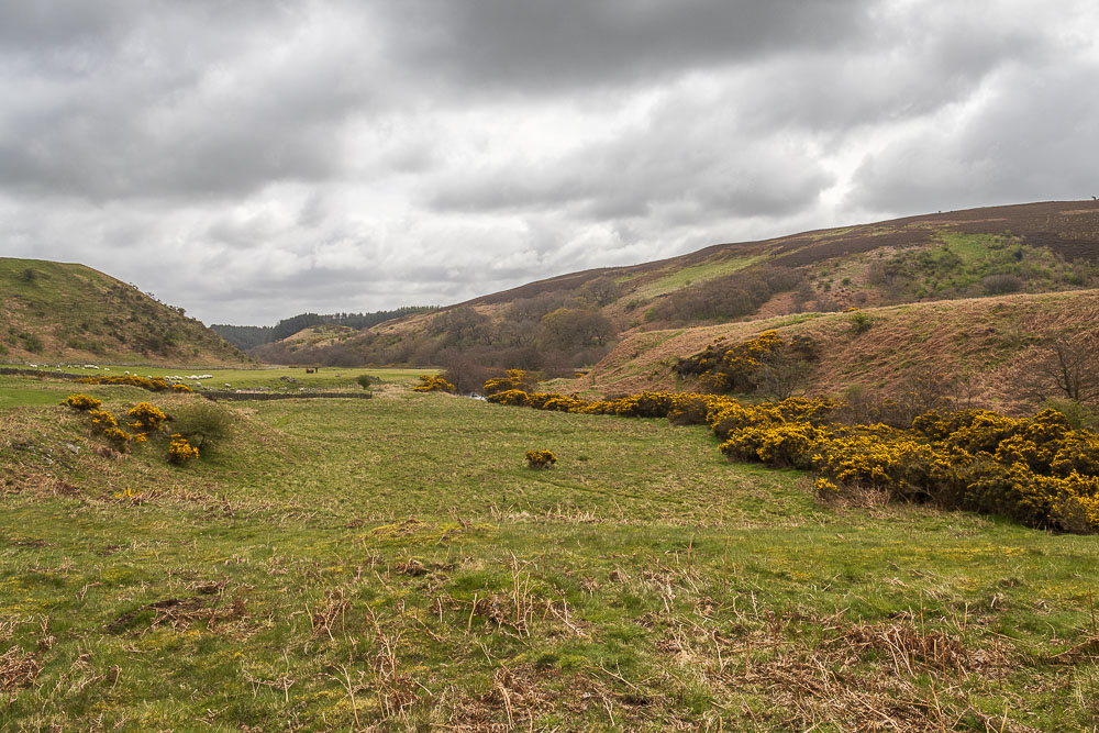
The farmer who had passed us whilst we were getting our boots on had provided us with some entertainment as when he tried to enter his field several sheep had escaped and he'd had some fun trying to get them back into the field without letting more out.
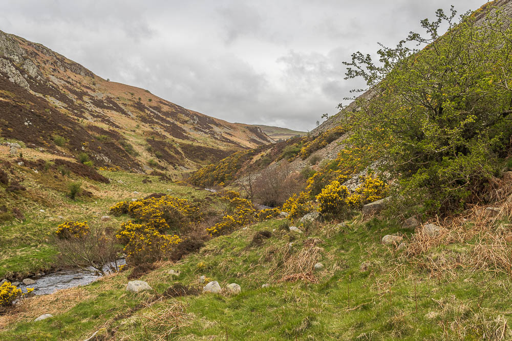
The sides of the valley quickly narrowed and the path then cut across the scree slopes of Hart Heugh.
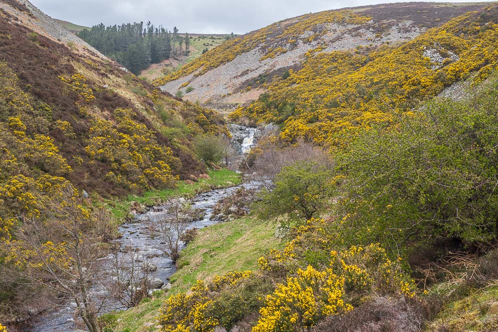
Once we were over the scree we met the only person we were to pass all day and in fact we only saw one other couple in the distance at the end of the walk.
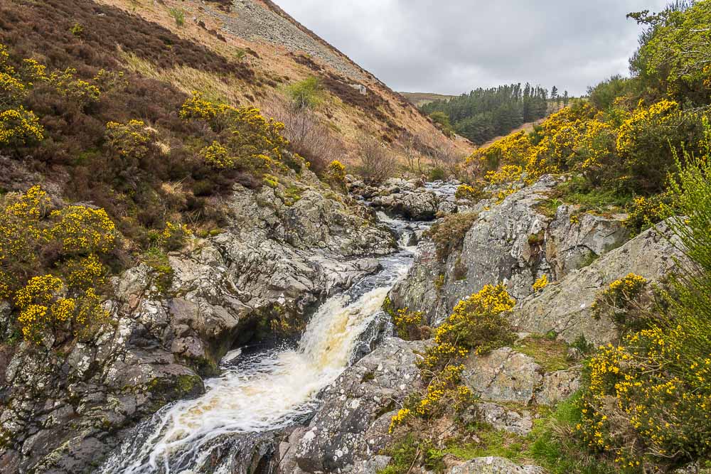
There was one short, easily managed rocky section around the waterfall and then we found ourselves on a clear easy path as the sides of the valley once again opened up.
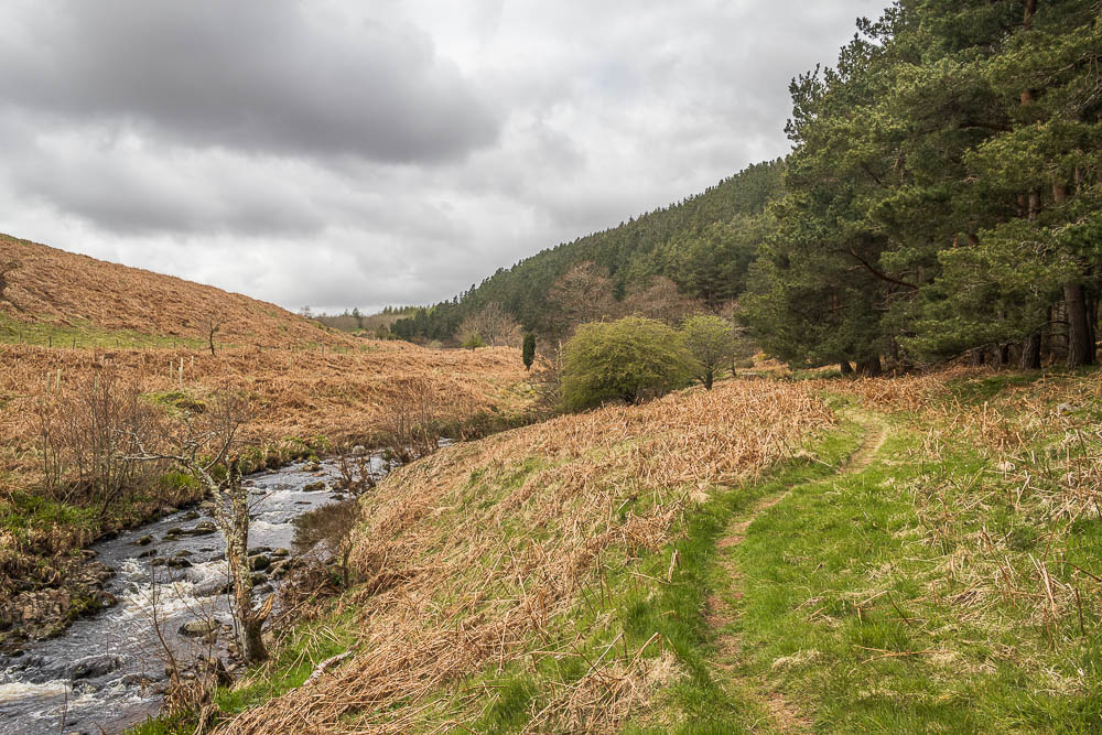
The path continued to follow Carey Burn as it took us through the edge of the woods at the bottom of Watch Hill.
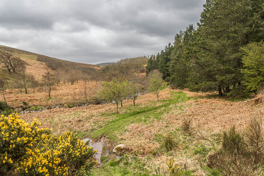
As the path swung around we get our first glimpse of Broadhope Hill at the end of the valley.
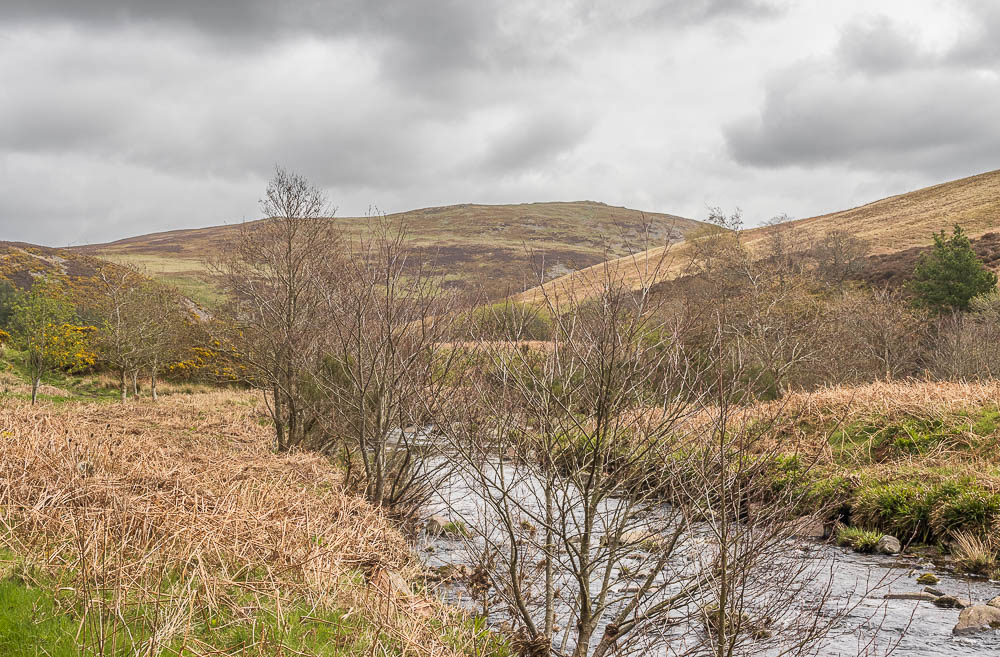
Looking back we can see Hart Heugh, whose slopes we crossed as we walked next to Carey Burn. To the left you can also see where Hell Path joined our route.
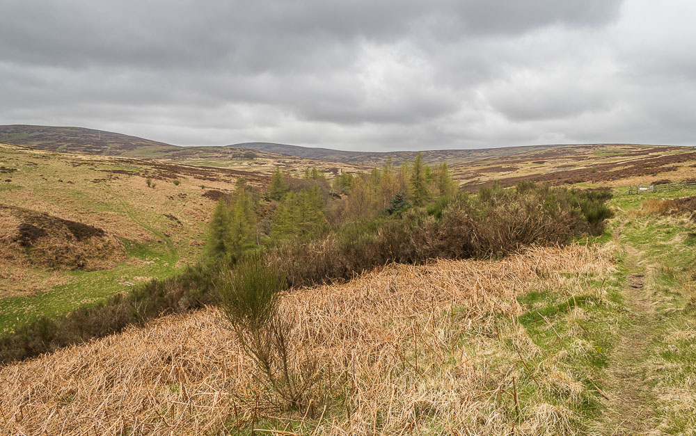
The path soon reaches open moorland and we get our first view of all of Broadhope Hill.
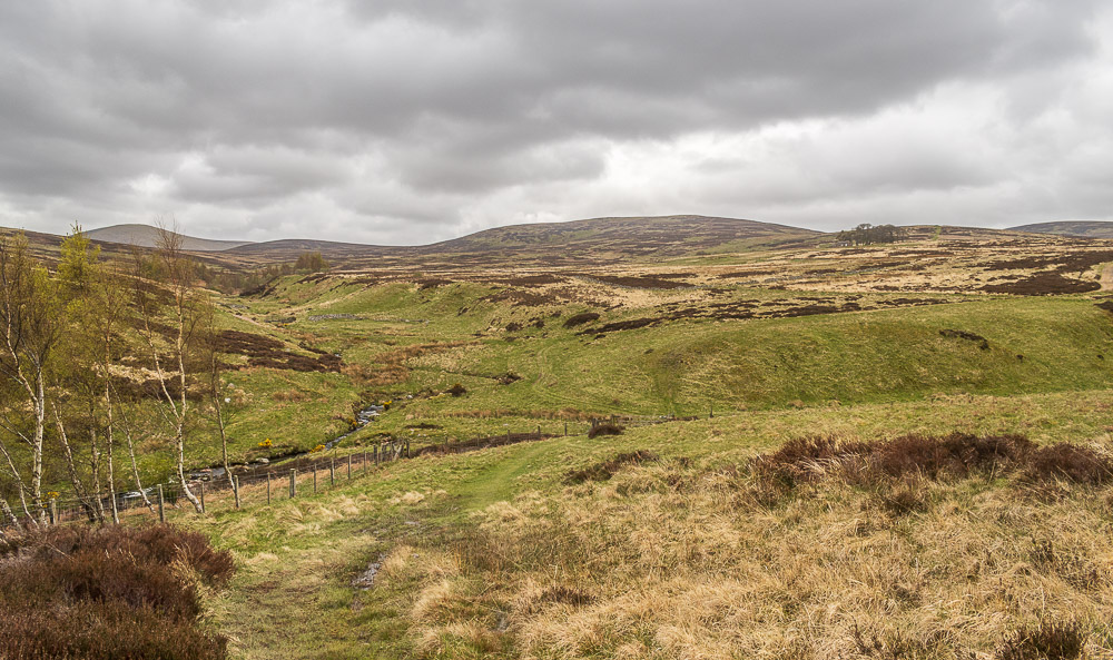
Ahead of us now we can see both of the hills on our route today, Broadhope Hill to the right and in the centre is Cold Law. Behind them is Hedgehope Hill, which we were relieved to know wasn't on our route, given this is our first hilly walk of 2024 I doubt our legs were up to that much ascent. As I found out later it is the second highest hill in the Cheviots so definitely beyond our very unhill-fit legs.
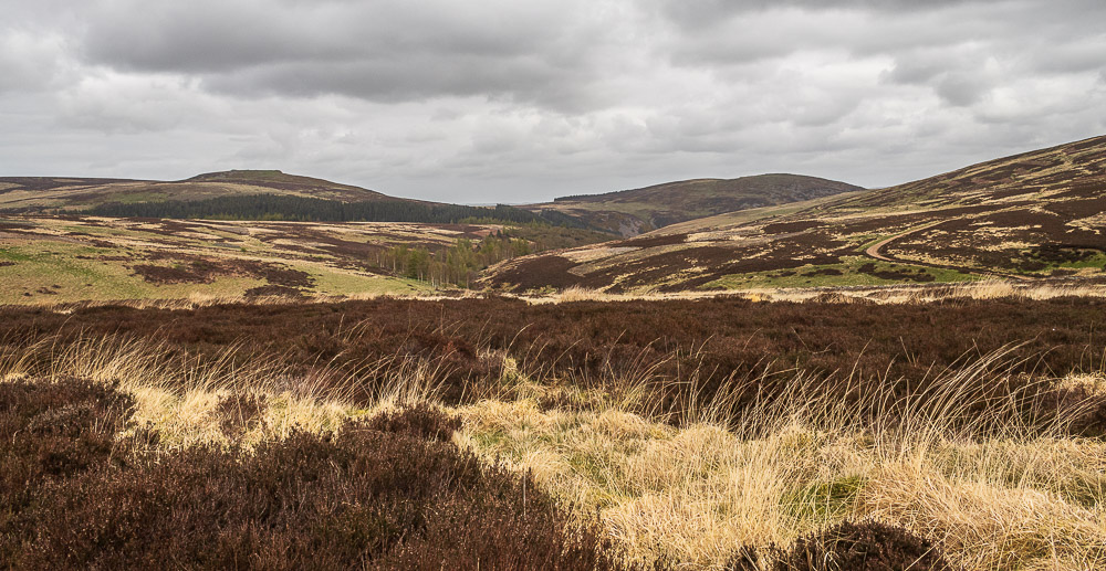
Looking back we can see Watch Hill and the unnamed rocky outcrop on Great Moor.
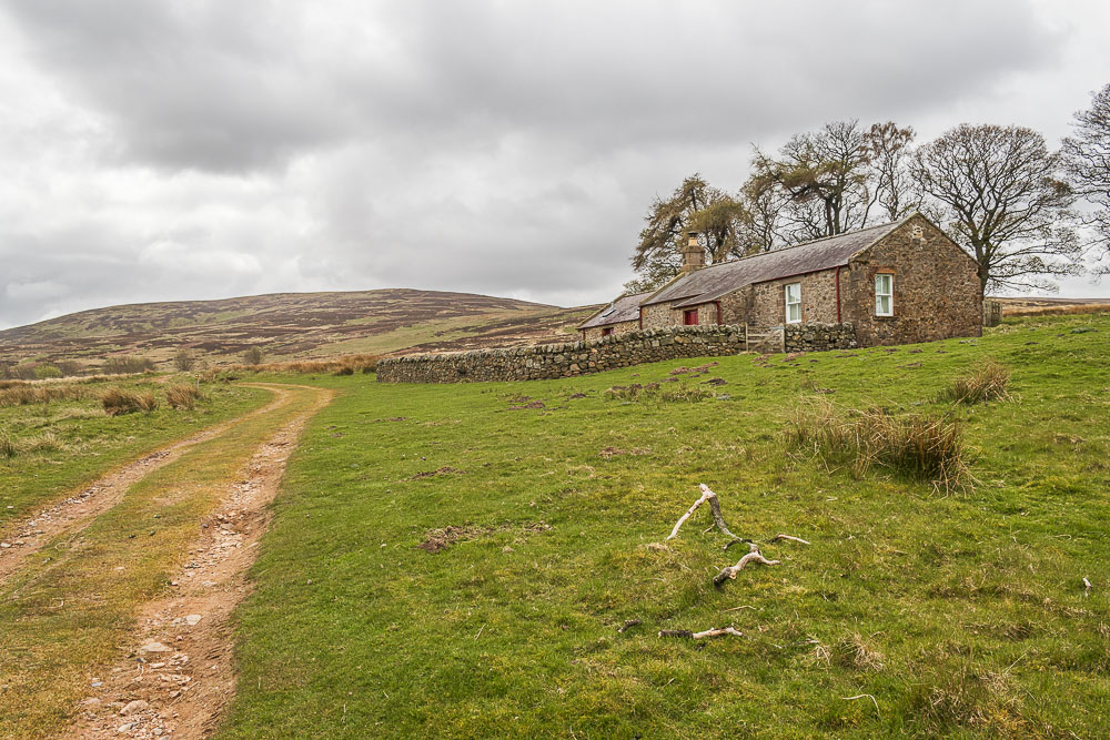
We follow the broad track that takes us up to Broadstruther, a former farm.
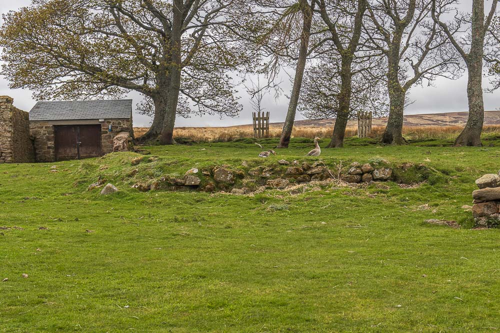
All my research into the walk had mentioned Broadstruther plenty of times, but nobody had mentioned its current residents, maybe they are in temporary residence.
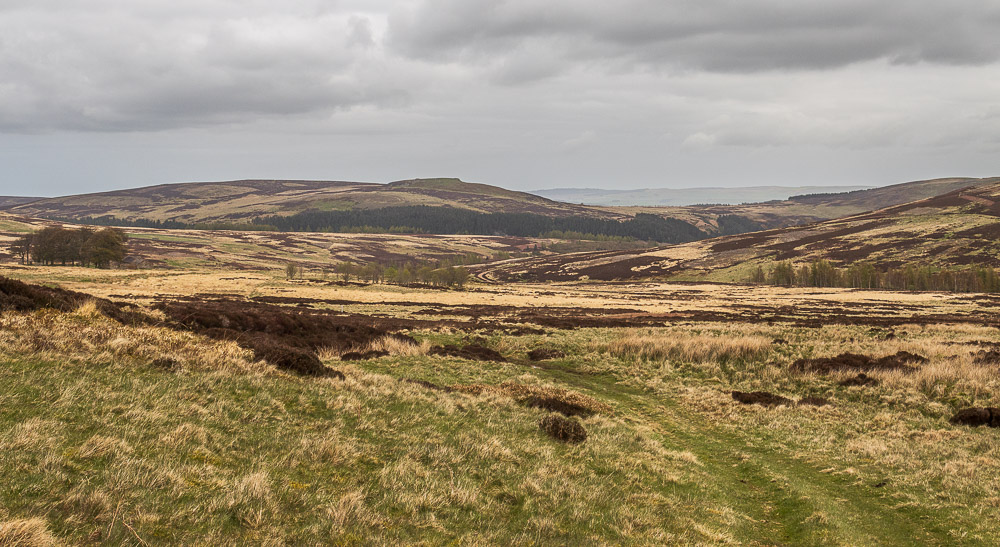
We followed the track passed Broadstruther as it headed along the valley but soon had to leave it to climb up to the summit of Broadhope Hill. Here pausing to catch our breath looking back as more of Great Moor comes into view.
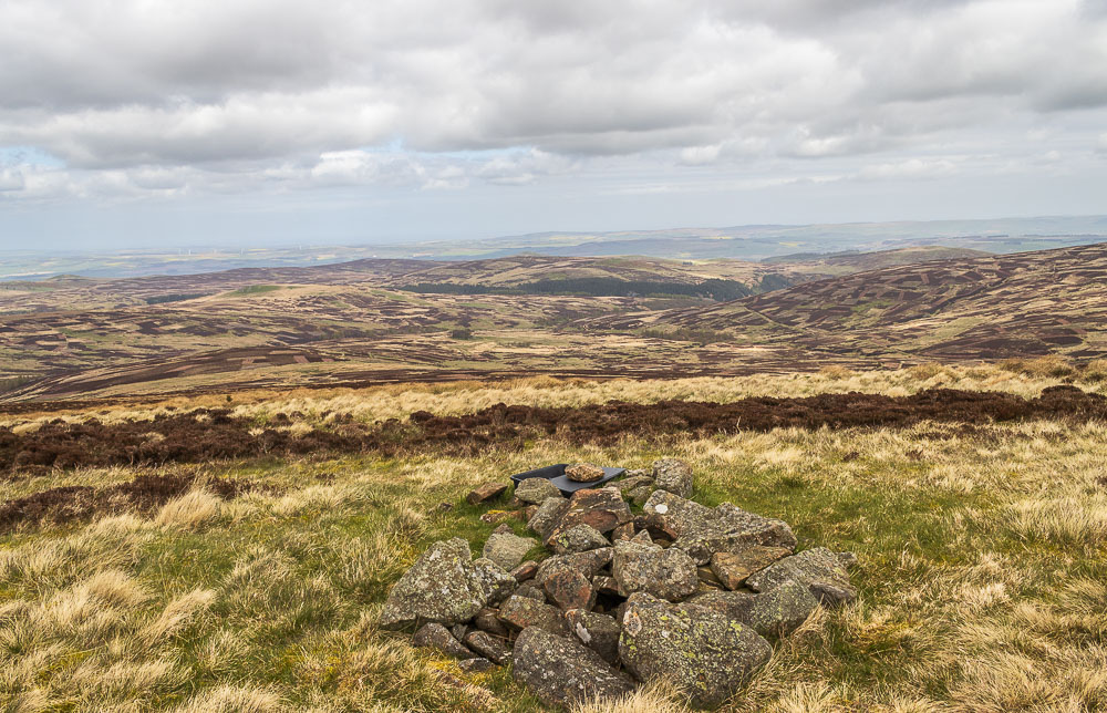
Broadhope Hill turned out to be one of those hills that is a long drag that makes you wonder why it is taking so much effort to get up it when it doesn't seem that high. Once we reached the summit we were able to enjoy a very hazy view in the direction of Wooler that just about enabled us to make out the coast.
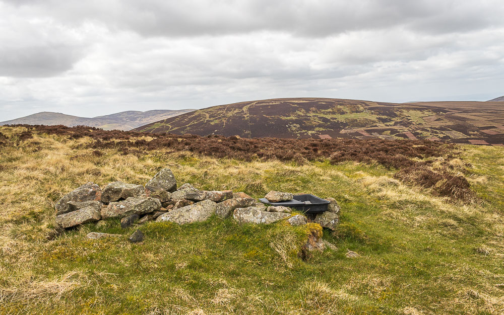
We had hoped to have lunch at the top of Broadhope Hill but it soon became apparent that the valley and Broadhope Hill had sheltered us from quite a strong and bitter wind. We stayed at the top long enough to have a quick look at the view and take a few photos, here looking across to Preston Hill with The Schil dominating the view behind us.
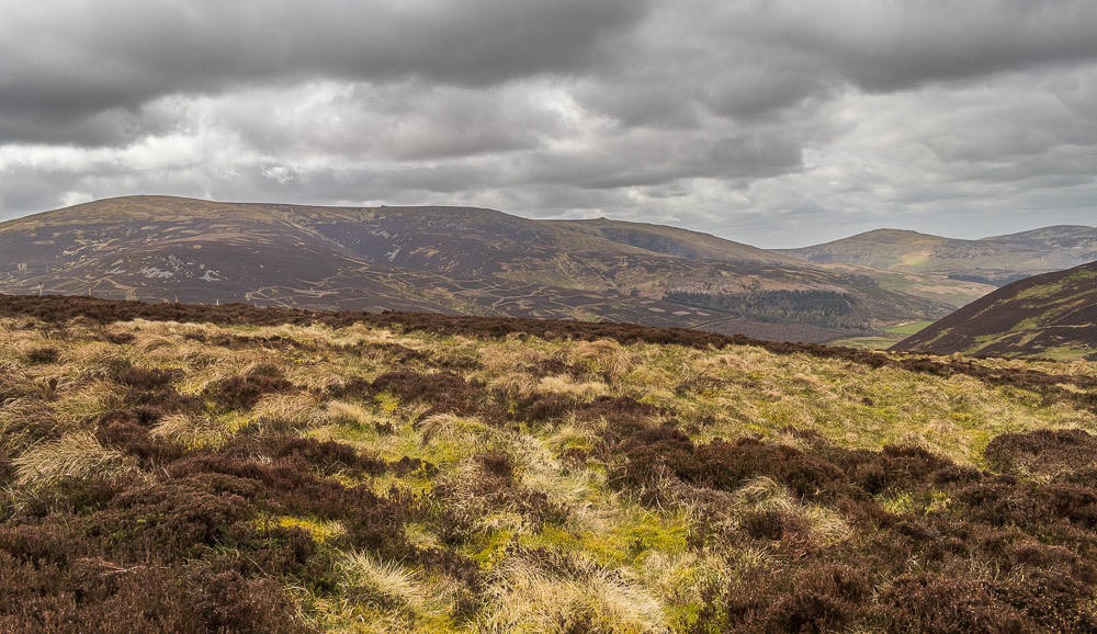
Stood on the top we didn't really appreciate what we were looking at and it was only when we sat down further down the hill that we realised we had been looking at The Cheviot.
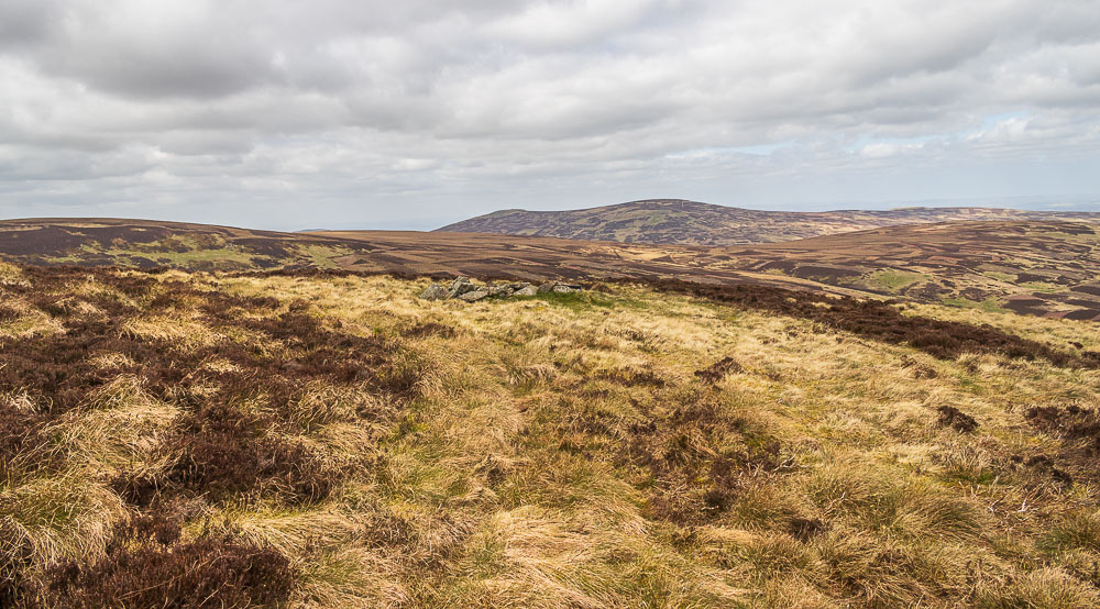
Looking across Great Moor to Hare Law from the summit of Broadhope Hill.
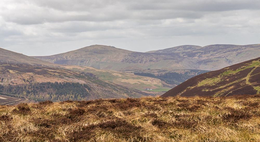
Looking across the College Valley to Dunsdale House and The Schil.
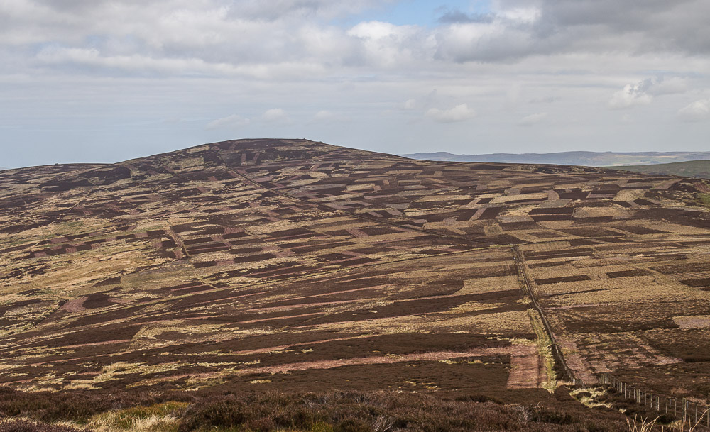
By the time we left the summit we were debating putting coats, hats and gloves on so we decided to drop down the hill in the hope of finding somewhere more sheltered. Here looking across to Cold Law from our lunch spot.
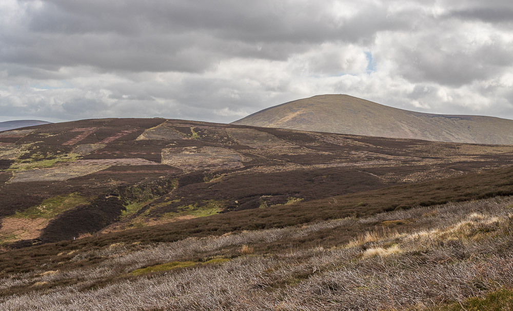
We were also able to look across Scald Hill to Hedgehope Hill. Sat looking at our map as we had lunch we began to realise that we had also been looking at The Cheviot, not something we had expected to see today.
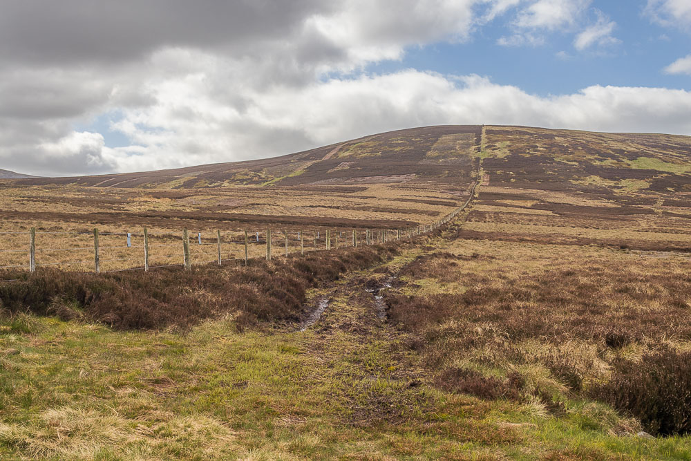
After struggling so much going up Broadhope Hill we had debated our route back to the car and were considering missing out Cold Law but once we reached the bottom and the main track we could have followed lunch had helped our legs recover.
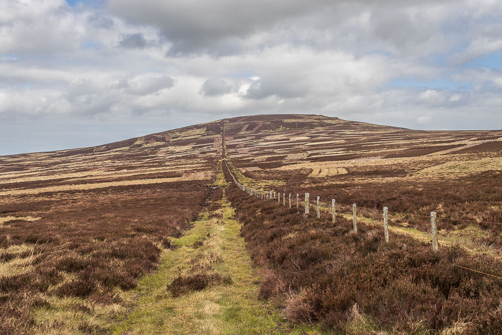
From the bottom of the hill Cold Law looked like a very gentle climb and so any thoughts of missing it out disappeared.
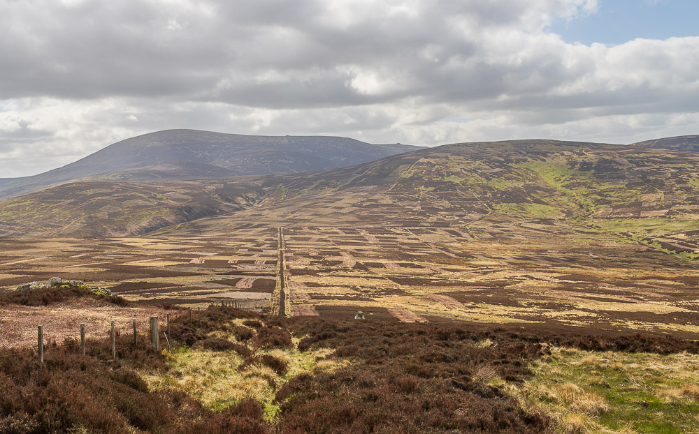
There was only one short steep section going up Cold Law but looking back we soon found ourselves looking across Scald Hill to The Cheviot. We could also see that the cloud was finally starting to break up.
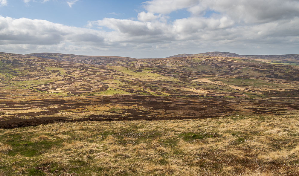
Looking across the valley from Cold Law we can see Preston Hill, Great Moor and Hare Law in the distance.

In order to reach the trig point we had to cross the fence but were rewarded with views across the valley to Hedgehope Hill.

From the summit we had a choice of routes down to the car but opted for the one taking us to Carling Crags as it didn't involve as steep a descent as the other routes and also followed this track which made the going rather easy.
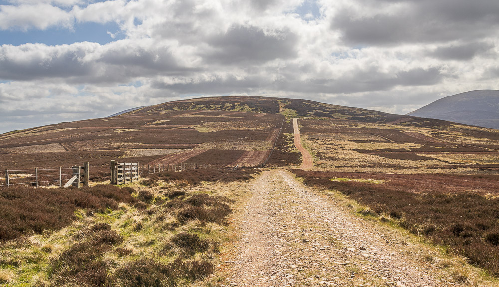
Looking back to Cold Law as we reach Carling Crags.
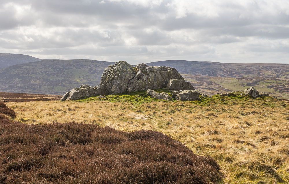
By the time we reached Carling Crags the sun was out and we were ready to remove our coats.
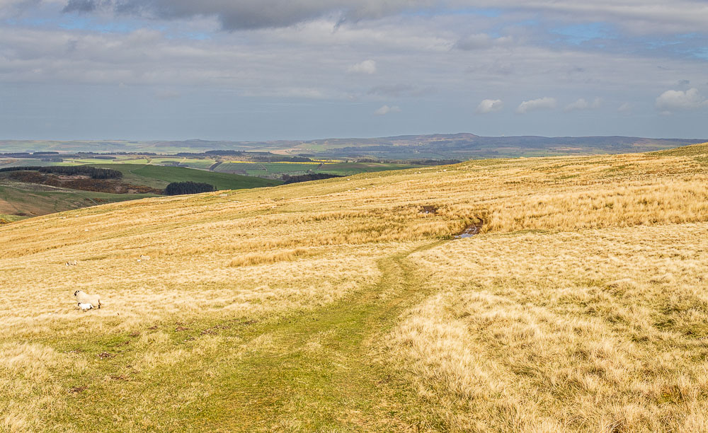
Our route left the track and followed the signed path across Snear Hill, where we were soon to see the only other people we would see on this walk.
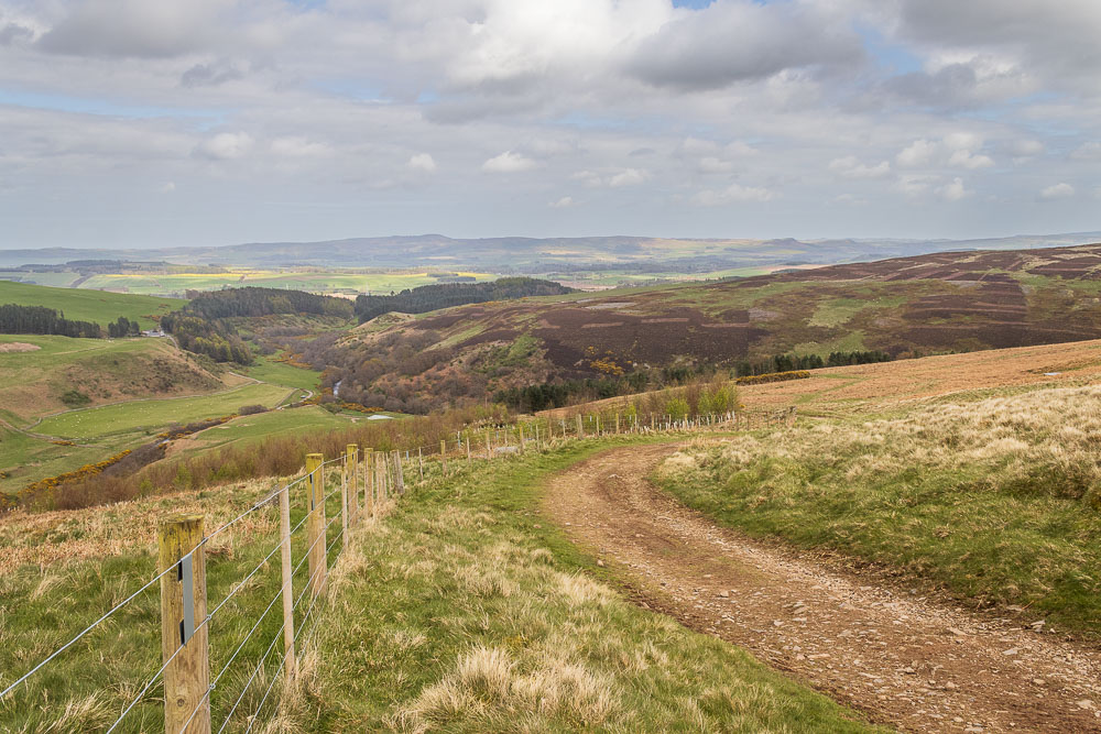
It wasn't long before we found ourselves looking down on the Harthope Valley and our car. Across the valley we can see Brands Hill and in the distance Berwick Moor.
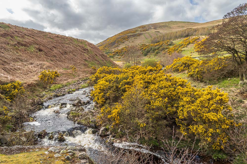
Back on the road it was a very short walk across the bridge over Carey Burn to the car.
All pictures copyright © Peak Walker 2006-2024